
Research Project Geology
Abstract
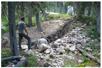
To improve knowledge of the Teton fault’s ground-rupturing earthquake history, we excavated trenches across two fault scarps near the southwest shore of Leigh Lake. Detailed stratigraphic and sedimentologic analyses allow preliminary inferences regarding the fault history. The trenches exposed faulted glacial sediments and overlying hillslope colluvium sediments, documenting at least two fault ruptures since deglaciation of the range front at ~15 ka. Samples are currently being analyzed using radiocarbon and luminescence dating techniques to determine the ages of the sediments and constrain the timing of fault rupture.
Featured photo from Figure 3 in report.