
Determination of Teton Fault slip rates using surface exposure dating of fault-offset glacial landforms in Grand Teton National Park
Abstract
The central goal of this project is to establish direct constraints on time-integrated slip rates along the trace of the Teton fault in Grand Teton National Park. The key research strategy is to develop cosmogenic 10Be surface exposure ages of glacial deposits bisected by the fault – in particular lateral moraines along the eastern Teton Range front – and to combine these landform ages with precise geomorphic measurements of postglacial fault scarp offsets on these features as determined from field surveys and analyses of newly available LiDAR data. Time-integrated slip rates on the Teton fault will then be derived from the amount of tectonic displacement on the dated lateral moraines. Improved constraints on the rate of tectonic activity along the Teton fault resulting from this project are anticipated to lead to better-informed geologic hazard assessment in the park and adjacent regions. Furthermore, the moraine chronologies developed in this work will advance our understanding of the late Pleistocene glacial and paleoclimatic history in Grand Teton National Park and more broadly in the northern Rocky Mountains.
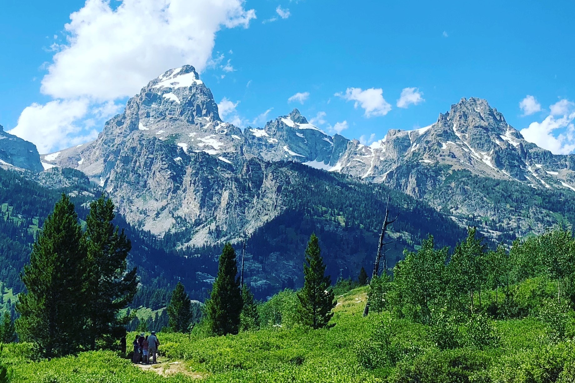
Featured photo taken from AMK Ranch photo collection.